Brisbane River Floods
Moggill, Bellbowrie and surrounding areas have regularly experienced floods during more than 17 decades of European occupation.
To discover further details about each of the floods that have taken place and explore a collection of carefully selected images, simply scroll down the page.
Timeline of floods
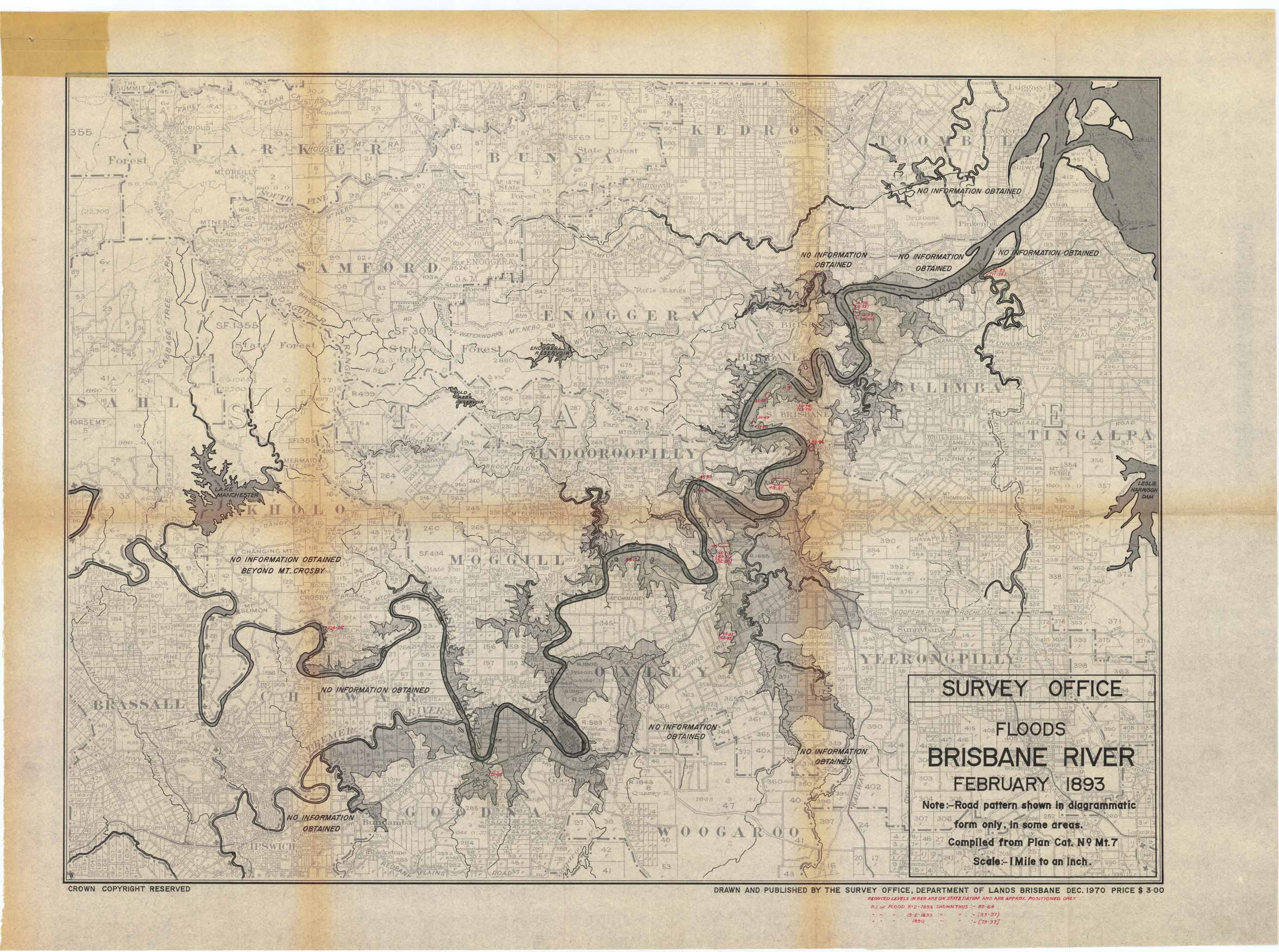
The multiple floods of 1893, as shown on this Government map, were the highest documented. The Brisbane River burst its banks on three occasions in February 1893 which saw the period named "Black February". There was also a fourth flood event in June. Although coal mines were flooded in Ipswich, there is no record of damage or loss of life in the Moggill district, despite one flood reaching 24.5m.
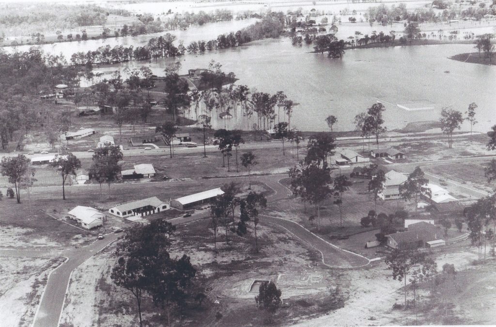
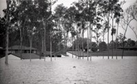
The 1974 floods which arrived just as the new suburb of Bellbowrie was emerging, remain in the memories of many as the waters rose around new houses and the yet-to-open shopping centre.
More images from the 1974 floods
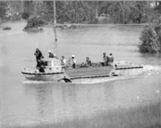
Tragically, Army reservists Corporal Neville Hourigan and Captain Ian Kerr were killed when their LARC amphibious craft, on a mission to rescue an elderly man with a heart complaint, contacted a fallen high voltage power line in Pullen Pullen Creek.

Corporate Neville Hourigan

Captain Ian Kerr
To access additional information about the LARC incident story, please download our PDF document. We welcome people to also visit the Memorial dedication located at Booker Place Park, Birkin Road, Bellbowrie.
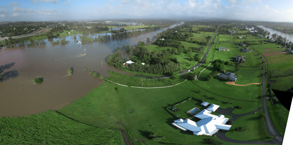
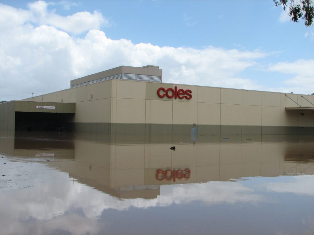
In January 2011, massive flooding isolated Bellbowrie, Anstead and Moggill from the rest of Brisbane.
Torrential rainfall during December caused an ‘inland tsunami’ to run through the Lockyer Valley and combine with a rapidly rising Bremer River and water cascading out of an overfull Wivenhoe Dam. As a result of this unprecedented flow of water, the lower levels of the area were flooded. Over 100 homes were lost and some 290 residents displaced.

The "Island In The Flood" book presents the stories and photographs from 2011, updated in to include the class action against the operators of Wivenhoe Dam.
More images from the 2011 floods
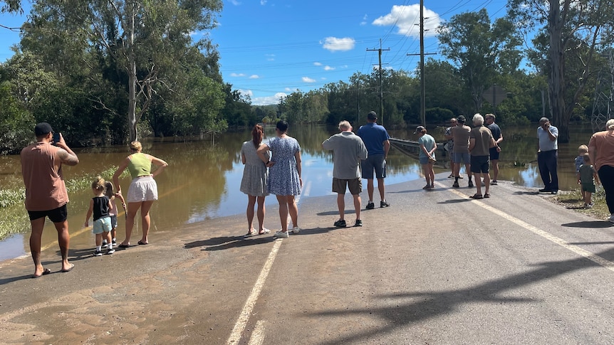
A low-pressure system caused over 400 mm of rain to be dumped across the greater Brisbane area in late February 2022. River levels in the CBD rose to over 3.8m causing widespread flooding and resultant damage in central Brisbane. Moggill and the surrounding areas were once again cut off, but no houses were inundated.
Interested in learning more?
The Moggill Historical Society offers a selection of local history books that you can buy.

